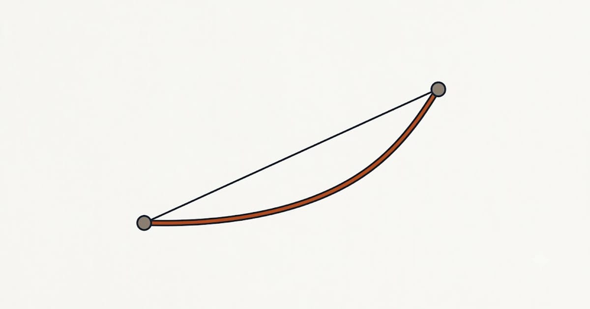
About 880 miles, and about 13 hours of driving.
The straight-line distance is roughly 660 miles. The road adds a third on top, which is normal for a route with no direct interstate and the usual reason a map distance and a travel time disagree.
The two routes
| Route | Distance | Driving time | Character |
|---|---|---|---|
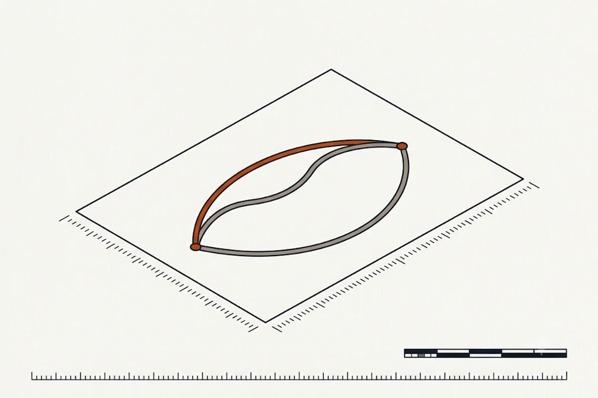
| US-287 via Amarillo and Raton Pass | ~880 mi | ~13 h | Shorter, two-lane in stretches, high pass near the end |
| I-35 to I-70 via Wichita and Salina | ~920 mi | ~13.5 h | Interstate almost throughout, flatter, easier at night |
The US-287 route is the one most navigation apps propose. It is marginally shorter and carries Raton Pass at about 7,800 feet on the Colorado–New Mexico line — routine in summer, and the first thing to close in a winter storm.
The interstate route is longer and more forgiving: divided highway nearly the whole way, more services, and no mountain pass. In December that difference is worth more than the forty miles.
What "13 hours" leaves out
Route planners give moving time. A real day contains more than that:
| Driving | 13 h |
| Fuel stops (2–3, at 10 min) | +30 min |
| Meals | +60–90 min |
| Rest breaks | +30 min |
| Realistic total | 15–16 h |
That is why this is normally driven as two days, and why the one-day version means leaving before dawn and arriving after dark.
Fuel cost
miles ÷ mpg × price per gallon
| Vehicle | mpg | Gallons | At $3.20/gal |
|---|---|---|---|
| Compact car | 34 | 25.9 | $83 |
| Mid-size sedan | 28 | 31.4 | $101 |
| Small SUV | 24 | 36.7 | $117 |
| Full-size SUV / truck | 18 | 48.9 | $156 |
| Towing a trailer | 12 | 73.3 | $235 |
Highway mileage generally beats the combined rating, so these run slightly high for the sedan rows and slightly low for anything loaded or towing. Elevation gain into Denver costs a few percent, and the descent gives some of it back.
Against a flight, the drive wins on cost for two or more people and loses on time for one.
Where to stop
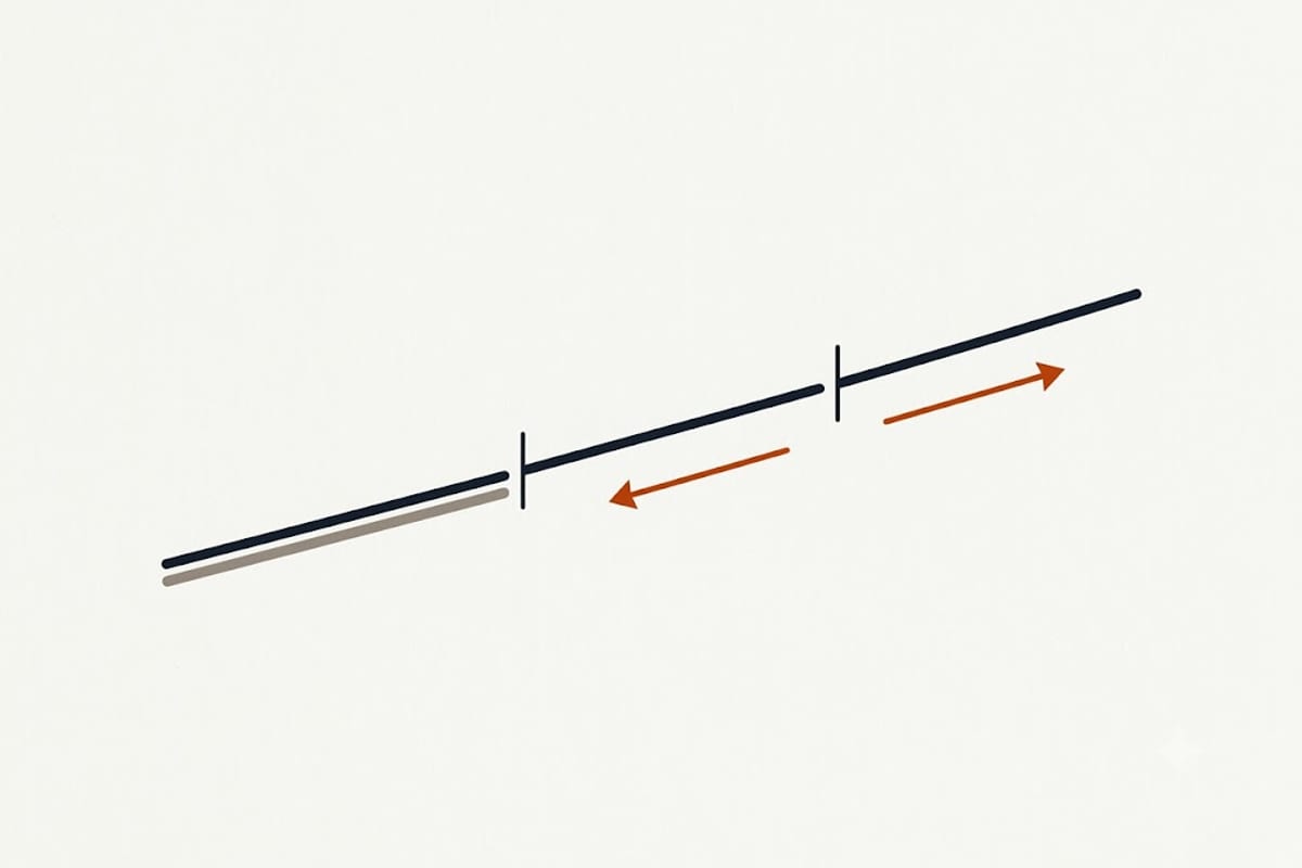
The natural split on the US-287 route is Amarillo, about 360 miles from Dallas — roughly five and a half hours, which leaves seven and a half for day two. It has ample lodging and is the last substantial town before the emptier stretch through north-eastern New Mexico.
On the interstate route, Salina, Kansas sits at a similar fraction of the trip and is a more mechanical stop: services, no scenery.
For an early start from Dallas, Wichita Falls at ninety minutes is too soon to be useful. The gap between Amarillo and the Colorado front range is long enough that stopping short of Amarillo makes day two uncomfortable.
Winter
Raton Pass, and the front range approach into Denver, both close in storms. Colorado enforces traction laws on I-70 and on mountain routes that require snow tyres or chains during declared conditions, and the fine for driving without them is not small.
Checking road conditions the morning of departure rather than the night before is the practical version of this: a pass that was open at 9 pm is not necessarily open at 6 am.
Air travel has its own arithmetic that road distance does not predict — see what makes up a flight time — and both are separate again from the time zone offset between two places.